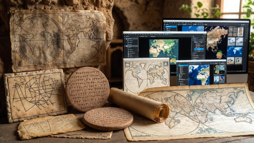
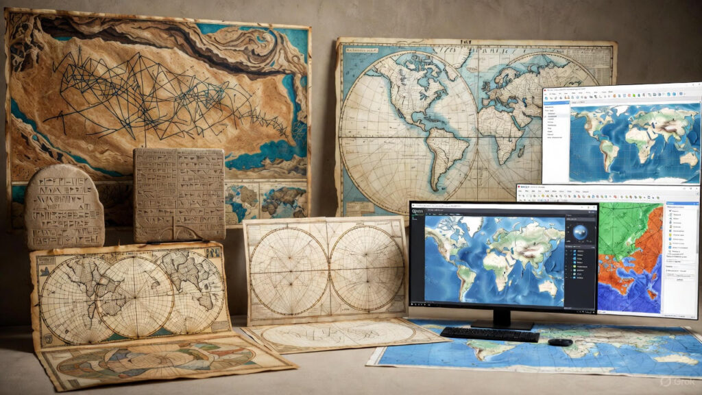
Maps are humanity’s oldest data visualization tool — and they’re still evolving faster than ever.
What began as scratches on cave walls now powers real-time flood alerts, self-driving cars, and climate models that predict the next century.
At Spectrum GIS Solutions, we live at the cutting edge of this 10,000-year journey. Here’s how maps evolved — and where GIS is taking them next.
8000 BCE: The Dawn of Spatial Thinking
| Milestone | Details |
|---|---|
| Çatalhöyük Wall Map (Turkey) | 9,000-year-old mural showing village + volcano — the first known map |
| Babylonian Clay Tablet (600 BCE) | World as a disk, Babylon at center — symbolic, not accurate |
Insight: Early maps were stories, not measurements.
200 BCE – 1500 CE: The Age of Exploration
| Era | Innovation | Impact |
|---|---|---|
| Ptolemy’s Geographia (150 CE) | Latitude/longitude grid, 8,000+ places | Foundation of modern cartography |
| Islamic Golden Age (800–1200) | Al-Idrisi’s silver globe for King Roger II | Accurate Mediterranean + trade routes |
| Portolan Charts (1300s) | Compass bearings, rhumb lines | Enabled Age of Sail |
Fun Fact: The Mercator Projection (1569) still warps Greenland to Africa-size — a reminder that all maps distort.
1600–1900: The Science of Surveying
| Breakthrough | Who | Why It Mattered |
|---|---|---|
| Triangulation | Snellius (1615) | Measure Earth with angles, not chains |
| Theodolite | 1787 | Precise angle measurement → national surveys |
| Ordnance Survey (UK) | 1791 | First 1-inch-to-mile maps → modern governance |
Stat: By 1850, France had a 1:80,000 national map — 80,000 sheets hand-drawn.
1900–1980: The Analog Revolution
| Tech | Year | Game-Changer |
|---|---|---|
| Aerial Photography | 1903 (Wright Bros) | Maps from the sky |
| Photogrammetry | 1930s | 3D from stereo pairs |
| Plastic Scribing | 1950s | Clean, reproducible base maps |
| Computer Plotters | 1960s | First digital output |
Turning Point: 1962 — Canada Geographic Information System (CGIS) Dr. Roger Tomlinson builds the first true GIS to map land use. “Father of GIS” coined here.
1980–2000: The Digital Dawn
| Milestone | Year | Impact |
|---|---|---|
| ArcInfo (Esksi) | 1982 | Vector + relational DB = modern GIS |
| GRASS GIS | 1984 | First open-source GIS (U.S. Army) |
| GPS Goes Public | 1990 (Clinton) | Accuracy from 100m → 10m |
| Tiger/Line Files | 1990 | U.S. Census releases digital streets |
Quote: “GIS is not about maps. It’s about answering questions with location.” – Jack Dangermond, Esri
2000–2020: The Web Map Explosion
| Platform | Launch | Why It Mattered |
|---|---|---|
| Google Maps | 2005 | Maps for everyone — slippy, searchable |
| OpenStreetMap (OSM) | 2004 | Wikipedia of maps — crowdsourced, free |
| ArcGIS Online | 2012 | Cloud GIS — no install, share instantly |
| Leaflet.js | 2010 | Lightweight web mapping library |
Stat: By 2020, 1 billion+ people used digital maps daily.
2020–2025: The AI + Real-Time Era
| Trend | Example | Spectrum GIS Role |
|---|---|---|
| AI Change Detection | Planet Labs + CNNs | Auto-flag new construction |
| Digital Twins | Singapore Virtual City | Live 3D urban simulation |
| Real-Time IoT | 5G weather sensors | 1-second flood alerts |
| AR Navigation | Pokémon GO → IKEA | Overlay data on reality |
| Generative AI Maps | “Draw me a bike lane plan” | Prompt → GIS output |
Case Study: Spectrum GIS built a digital twin for a coastal city:
- Inputs: LiDAR, tide gauges, traffic cams
- Output: 72-hour storm surge forecast in 3D
- Result: Evacuated 14,000 before landfall
Timeline: 10,000 Years in One View
What’s Next? (2030 Vision)
| Future | Prediction |
|---|---|
| Neural Maps | Think “show me risk” → AI builds map |
| 6D GIS | x, y, z, time, sentiment, probability |
| Brain-Computer Interface | Control GIS with thoughts |
| Planetary GIS | Mars + Earth in one platform |
Spectrum GIS is building it now: Contact us to co-create the next map.
Your Map Evolution Starts Today
- Try This: Open QGIS → add OSM → trace your street
- Level Up: Download historical maps → georeference in QGIS
- Go Pro: Book a free GIS Strategy Session
What’s the oldest map you’ve ever used? Comment below — we’ll georeference it for you.
Next: “How AI is Writing the Next Chapter of Cartography” Subscribe | Download Map Evolution Timeline PDF
SEO Tags: history of maps, evolution of cartography, GIS history, from paper to digital maps, future of GIS, Spectrum GIS